“The whole world can be displayed — in 3D and in real time.”
In dialogue with the CEO of HERE Technologies

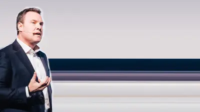
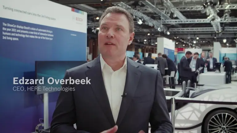
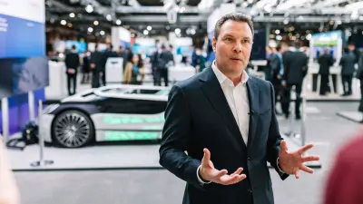
The physical and digital worlds will look remarkably similar in the future — so says Edzard Overbeek, CEO of the global provider of maps and location services HERE Technologies. Using big data, it will be possible to create real-time maps that can prevent accidents between autonomous vehicles.
An interview with the IoT expert Edzard Overbeek

Loading the video requires your consent. If you agree by clicking on the Play icon, the video will load and data will be transmitted to Google as well as information will be accessed and stored by Google on your device. Google may be able to link these data or information with existing data.
“If you think of the physical world with a digital layer on top of it, you can geo-position every service and offer it to potential customers.”
The world wrapped in a digital coat
One still remembers them, at least: the old paper maps, intricately folded in the glove compartment. With the advance of digitalization, this analog orientation aid has essentially become extinct; now, smartphones show us where to go. “We obviously live in a physical world. And we can locate ourselves within that world very well. You know, if you think of the world with a digital layer on top of it, you can locate potential consumers and offer them location-based services”, says Edzard Overbeek, CEO of the global provider of maps and location services HERE Technologies. Most smartphone users have already come into contact with location-based services. For a tourist visiting a foreign city, for example, their smartphone can point them to the nearest good restaurant. Overbeek: “It's a very effective method for any company.”
“Intelligent maps know when another car is around the corner. That’s how traffic accidents can be avoided.”
Exact localization, everywhere and at all times
Smart maps and location-based services will not only continue to recommend good restaurants, but play a major role in the future of mobility as well. Many people ponder questions like: “Will autonomous driving ever be safe?” Or: “Can self-driving cars find the fastest route? Wouldn’t it be better to follow my own experience?” The answers are delivered by intelligent HD maps composed from huge volumes of data: “If you think about the data collection in a vehicle, you have camera technology, radar technology, ultrasound. You can actually geo-position the car precisely on a high-definition map, but also the services from the outside can be projected exactly to where the car is located,” explains Overbeek. It’s possible, for example, to detect whether a pedestrian is about to step out into the street or a car is about to come around the corner. “Smart maps help avoid accidents.”
“The perfect map of the future creates a digital reality which you cannot distinguish from the physical reality.”
Real-time map updates
Edzard Overbeek has a clear idea of what the perfect map will look like: “The perfect map of the future will be a digital reality that you can't distinguish from the physical reality. 4K resolution (Ultra High Definition), three-dimensional, always on, real-time.” The moment something changes in the physical reality, your digital map changes with it. In addition to these technological advancements, worldwide cooperation is also becoming increasingly important. “We're open. Together with others, we want to digitalize reality in order to create a better world for all of us”, says the HERE CEO. He calls Bosch one of the most important players: “If I think of autonomous driving and the internet of things, I think of Bosch. The company is actively shaping the mobility of the future.”
Edzard Overbeek — CEO, HERE Technologies

Dutchman Edzard Overbeek studied Business Administration at the University of Bradford in the UK. He is regarded as an expert in cloud solutions and in recent years primarily held executive positions with the US telecommunications giant Cisco. Now, as the CEO of HERE Technologies, he wants to repeat the success story of the likes of Google, Amazon and Facebook.
Summary
The map of the future could help ensure maximum traffic safety by transmitting real-time information about other traffic participants. And it could also provide even more location-based services than we enjoy today.